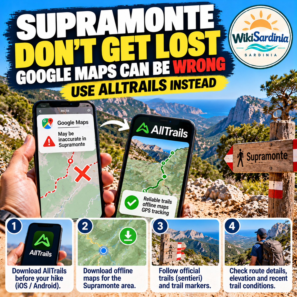
Exploring the Supramonte in Sardinia? Don't rely on Google Maps alone. In remote mountain areas, a route that looks simple on a phone can lead onto rough tracks, private roads or paths that are unsuitable for your vehicle or experience. Download your route before leaving, use a hiking map with offline access, and check local conditions with a reliable source before setting out.
Why Google Maps may not be enough in the Supramonte
The Supramonte is a rugged area of central-eastern Sardinia with limestone plateaus, deep gorges, remote trails and limited mobile coverage in some places. Mapping apps are useful for reaching towns and trailheads, but they may not show every hiking path clearly or tell you whether a track is currently passable.
A line on a map is not a guarantee that a route is safe, accessible or suitable for your car. Treat navigation apps as aids, not as a substitute for route planning, trail information and judgement on the ground.
1. Download maps before you lose signal
Before leaving your accommodation, download the area for offline use in the navigation app you plan to use. Check that the map is stored on your phone and that you can open it with mobile data switched off. Offline downloads and features vary by app and subscription.
AllTrails can be useful for discovering and following hiking routes, but offline maps and navigation features may require a paid plan. Check the current app details before relying on them. You can also carry an offline map from a mapping service designed for hiking, plus a separate route description.
2. Choose a route that matches your ability
Read the full trail description before setting off. Check distance, elevation gain, estimated duration, terrain, exposure and any scrambling or navigation difficulty. In the Supramonte, a short route on the map can still be demanding because of rocky ground, heat or difficult wayfinding.
- Choose a clearly described route suitable for your group's experience.
- Save the trailhead and planned route, not just the final destination.
- Check recent trail notices and local advice for closures or access restrictions.
- Tell someone where you are going and when you expect to return.
3. Don't follow a car route onto a rough track blindly
If you are driving to a trailhead, review the last part of the route in advance. A navigation app may direct you onto an unpaved track or a road unsuitable for an ordinary rental car. If the road surface, signage or access rights are unclear, stop somewhere safe and reassess rather than pushing on because the app says to continue.
Respect gates, private property and local restrictions. Never drive onto a hiking trail, and don't block access for residents, emergency services or other vehicles.
4. Carry a backup and conserve your battery
Keep your phone charged and consider bringing a power bank. Save the route details and key contact information before you leave. For longer or more remote hikes, carry a suitable paper map and compass and know how to use them; a downloaded map is not a substitute for navigation skills.
GPS positioning can still work without mobile signal, but your app must have the relevant map data available offline. Battery failure, device damage or poor route data can still leave you without usable navigation.
5. Check conditions locally before departure
Ask a local guide, accommodation host or official visitor information service about the route, access and current conditions. Some trails require experience, careful planning or a guide. Weather can change quickly, and heat, limited water and exposed terrain can make an otherwise manageable hike unsafe.
Carry enough water and suitable footwear, start early in hot weather and turn back if the route becomes unclear or conditions deteriorate. If you become lost, avoid wandering further in an attempt to find a shortcut; pause, check your last known position and use your planned route to decide on the safest next step.
Is AllTrails enough to navigate the Supramonte?
AllTrails can help you find hiking routes and review route details, but no single app guarantees safe navigation. Check whether the trail is current, download offline information in advance if your plan supports it, and compare the route with local guidance. For remote hikes, a backup map and good preparation are important.
Frequently asked questions
Does Google Maps work in the Supramonte?
It can be useful for general navigation, but coverage and map detail vary. Do not assume it includes every hiking trail or accurately indicates whether a remote track is passable.
Can I use AllTrails without phone signal?
Offline access depends on the app's current features and plan. Check the current subscription details, download the map before departure and test it with your phone offline.
Will GPS work if I have no mobile signal?
Your phone may still determine its position using satellite signals, but the map and route data must already be available offline for useful navigation.
Should I drive wherever the navigation app directs me?
No. Review the road and access conditions, watch for signs and restrictions, and turn back if a track is unsuitable for your vehicle or the conditions are unclear.
What should I do if I get lost?
Stop somewhere safe, avoid taking an unfamiliar shortcut, check your last known position and use your planned route and backup map. If you are in danger or cannot get out safely, contact emergency services when possible.
The takeaway
In the Supramonte, plan beyond Google Maps: download offline maps, use a suitable hiking route, check local conditions and carry a backup. AllTrails may help with trail discovery and navigation, but offline features can depend on the plan, and no app can replace preparation or local knowledge. If a route or track looks wrong on the ground, don't blindly follow the screen.