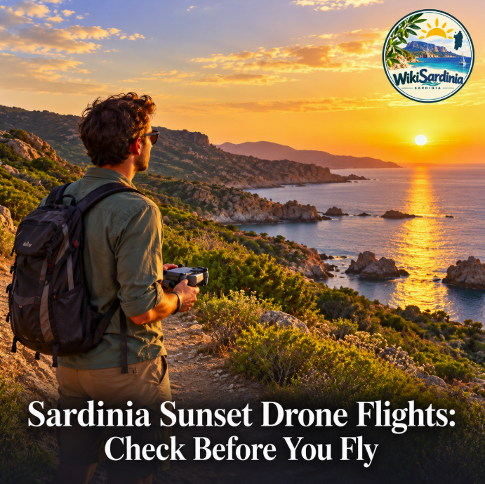
Sardinia’s sunset viewpoints can produce wonderful photographs, but there is no reliable island-wide list of places where a tourist can launch a drone without further checks. Permission depends on the exact flight area, current restrictions, your aircraft and the operation you plan. A quiet coastal lookout is a place to investigate, not an automatic clearance.
For a sunset outing, choose the view first and verify the flight separately. Take a camera as well: if the checks do not support a lawful flight, the evening can still deliver a memorable photograph from the ground.
Where to start looking for a sunset view
The western coastline around Bosa offers a useful starting point for photographic planning. Sardinia’s official tourism portal describes Torre Argentina, about seven kilometres from Bosa, as a coastal promontory with a historic watchtower and a striking sunset silhouette. Its coastal itinerary also names Bosa Marina, Porto Alabe and Torre Columbargia as scenic stops.
These are suggestions for views, not verified drone launch sites. No live airspace clearance or site-specific permission for them has been established for this guide. The tourism portal also describes the nearby coast as habitat for griffon vultures and other raptors, making wildlife considerations an important part of planning.
Scout a candidate in daylight. Work out where you can stand comfortably, whether you can access the land legitimately and how you will return after sunset. Avoid choosing a launch position simply because a roadside pull-off appears convenient; it may offer poor visibility or put you close to passing traffic.
Check the exact flight area on d-flight
ENAC requires operators to check d-flight before each flight. Its geographical zones can prohibit or limit operations for aviation safety, security or environmental reasons. Restrictions near airports and heliports need particular attention, and the rules can involve different altitude sectors.
Open d-flight and inspect both the proposed launch point and the area the drone would actually enter. Read the applicable conditions rather than relying on a colour alone. Flying out over the sea does not remove the need to check the route.
Also establish whether the landowner, site manager or protected-area authority imposes relevant access or activity conditions. If a required permission is unclear, resolve it before travelling with an expectation of flying. A manufacturer’s app is useful for operating the aircraft, but its ability to unlock or launch does not establish legal permission.
Prepare the operator and the aircraft
ENAC’s operator guidance sets out registration requirements and the exemptions for qualifying toys and sub-250g drones without equipment that collects personal data. A small camera drone should therefore not be assumed exempt simply because it weighs less than 250g. ENAC also requires appropriate liability insurance.
If you are visiting from the United States or another non-EU country, EASA says to register in the first EU country where you intend to operate. That registration is valid across the applicable European system. Check the pilot competence requirements separately for your drone and operation; bringing an overseas registration is not a substitute for following European rules.
EASA’s operating guide emphasizes keeping the drone in sight, respecting people’s privacy and applicable separation requirements, and the general 120-metre height limit. Measure your plan against the actual terrain and local zone conditions, not just an altitude setting in the app.
Plan the sunset flight before the light fades
Arrive early enough to assess wind, visibility, battery condition and a clear landing area. Coastal gusts can make the return leg more demanding than the outward flight. Keep the outing within the aircraft’s limits and your own ability to observe it, and leave enough time to land without rushing.
If the flight will extend into night, verify the applicable night-operation requirements in advance, including the green flashing light. ENAC’s pilot training material explains how reduced light and visual illusions can affect visual-line-of-sight flying. A light is not a substitute for maintaining the required visibility.
The best sunset viewpoint for your drone is ultimately one where the current restrictions, site conditions and your operating requirements all align. Check before setting off, check again before launch, and keep a ground-photography alternative ready.