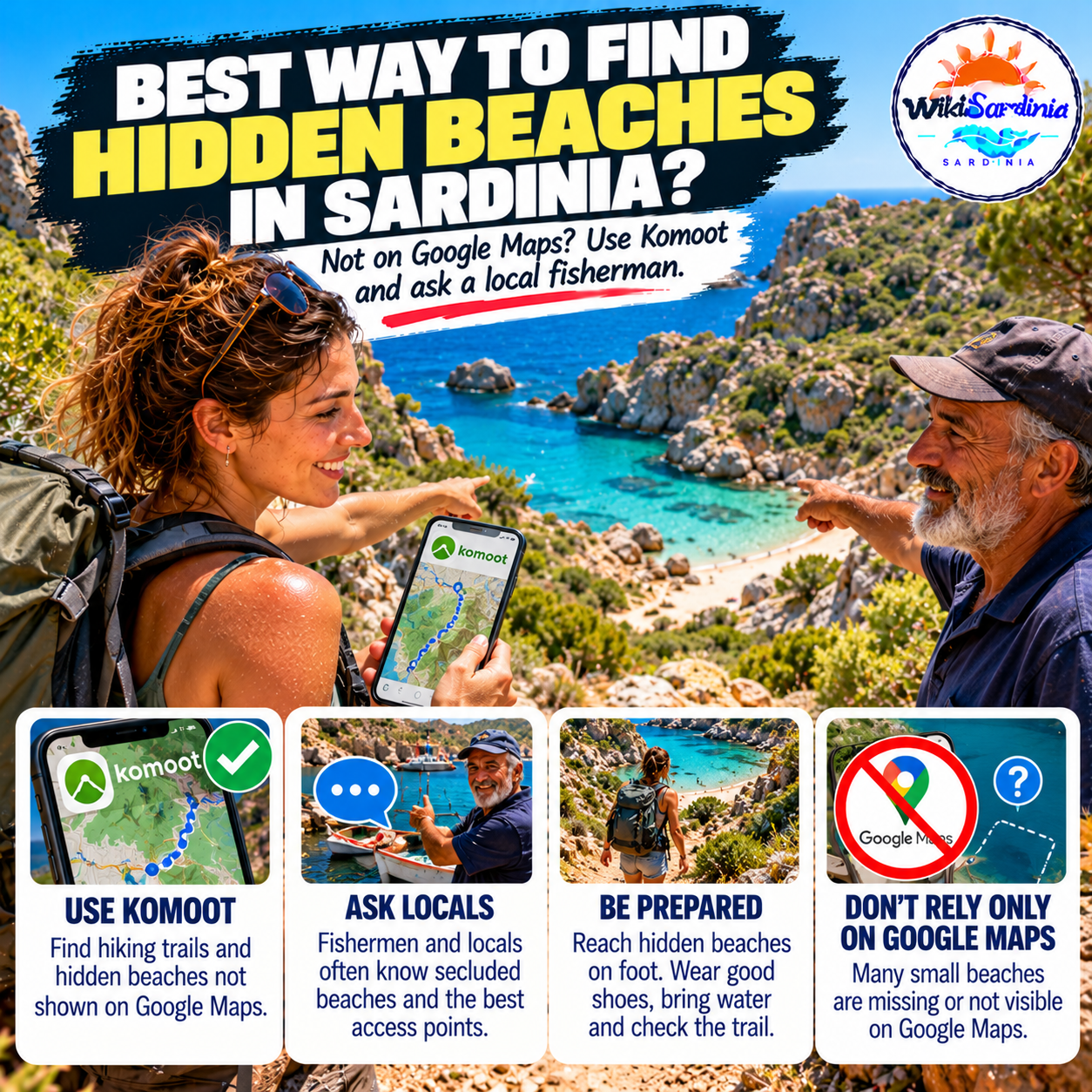
Some of Sardinia’s most memorable coves are reached by footpaths, rough tracks or small coastal trails rather than a road that leads straight to the sand. If Google Maps does not show a beach clearly, that does not necessarily mean it is secret—or that there is a safe, legal way to reach it. The trick is to combine a hiking map, local knowledge and a realistic check of the route before setting off.
1. Use Komoot to discover walking routes
Komoot’s Sardinia hiking guide brings together walking routes, trail details and community highlights. Search around the stretch of coast you want to explore, then look for hikes that approach coves or viewpoints. Read recent route notes, distance, elevation and difficulty rather than choosing a route just because a photograph looks appealing.
Komoot is useful for discovering paths that may be less obvious on a general-purpose map, but it is not an official access register. A route shown by another user does not guarantee that the path is open, maintained or permitted, and a pin near the sea does not prove there is a safe descent to the beach.
2. Check Sardegna Sentieri and official trail information
For a second source, use Sardegna Sentieri, the regional trail resource. It provides mapped routes and supports downloading selected trail information for offline use. Comparing a community route with official trail information can help you understand where a path starts and whether it follows a recognised itinerary.
Municipal tourism websites and local park authorities can also clarify access conditions, seasonal closures and any restrictions. If a cove lies inside a protected area, follow the rules set by the managing authority.
3. Ask a local resident—or a fisherman
People who work along the coast often know which paths are commonly used, where a trail begins and whether recent weather has made access difficult. A fisherman may be able to point out the name of a cove or explain what it looks like from the water, but always confirm the land route independently before walking there.
Ask politely at a harbour, a village café, a local tourist office or a nearby accommodation. Useful Italian phrases include:
- “C’è una piccola spiaggia raggiungibile a piedi da qui?” — Is there a small beach we can reach on foot from here?
- “Il sentiero è aperto e sicuro?” — Is the trail open and safe?
- “Il percorso passa su proprietà privata?” — Does the route cross private property?
4. Download the map before you leave
Small coves and coastal paths may be in places where mobile reception is weak or absent. Download the route and any available offline map while you still have a reliable connection, charge your phone and consider carrying a power bank. Keep a screenshot or written note of the trailhead and return route as a backup.
Do not rely on a single map app for navigation. If the path on the ground is unclear, blocked or appears unsafe, turn back rather than improvising down a steep slope or across unstable rocks.
5. Check the walk, not just the beach
A beach may look close on the map but still require a steep descent, a long walk or a difficult return climb. Check the total distance, elevation, estimated time, shade and water availability. Wear suitable shoes, carry enough drinking water and tell someone where you are going if you plan to walk somewhere remote.
The official SardegnaTurismo safety guidance recommends checking weather, duration and difficulty and avoiding unfamiliar paths without experienced guidance. Take particular care after heavy rain, in strong winds or during extreme summer heat.
6. Respect access rules and protect the coast
Do not cross a fence, enter private land without permission or ignore signs and trail closures just because a map shows a beach beyond them. Some coastal areas have fragile dunes, protected habitats or restricted access. Stay on established paths, take your rubbish with you and leave sand, stones, shells and other natural material where they belong.
A simple plan for finding a quieter cove
- Choose a coastal area and search Komoot for nearby hikes and community highlights.
- Compare the route with Sardegna Sentieri and local official information.
- Ask a local person whether the trailhead and access are current.
- Download maps for offline use and check the weather and return time.
- Go only if the route is open, permitted and within your abilities.
The best approach
To discover beaches that Google Maps does not make obvious, combine Komoot, official trail maps and local advice. The most important detail is not simply finding a hidden cove on a screen—it is confirming that you can reach it safely and legally. A little preparation helps you enjoy Sardinia’s quieter coastline without damaging the landscape or getting stranded on an unsuitable path.