Before choosing a beach or confirming a boat trip in Sardinia, checking the wind can matter as much as checking the temperature. The island can be sunny while one coast has rough water and another remains comparatively sheltered, especially when the north-westerly Mistral — maestrale in Italian — is blowing. For travelers searching “Sardinia weather radar,” “Windy” or “sea conditions today,” the most useful approach is to combine a live weather app with Sardinia’s official ARPAS marine forecasts rather than relying on a single sunshine icon.
As of September 2026, this has become easier because ARPAS, Sardinia’s regional environmental agency, has launched a bilingual ARPAS Meteo app for iOS and Android. It combines weather forecasts, wind fields, radar and detailed forecasts for the seas around the island in one official source.
Start with the official ARPAS Meteo app
ARPAS says its new app is available in Italian and English and is designed specifically for Sardinia and the surrounding seas. Unlike a generic global weather application, its forecasts are produced daily by professional meteorologists who assess multiple observations and forecasting models.
The app includes a general Sardinia forecast with weather symbols, wind, temperature and sea state; more detailed forecasts for five warning zones; marine forecasts covering seven sea areas; animated wind fields; radar products; and other monitoring information.
For a traveler deciding between a beach in Alghero, a boat excursion from Palau or a day at Poetto in Cagliari, the marine and wind layers are particularly valuable. A forecast of 30°C and sunshine tells you almost nothing about whether the sea will be comfortable for swimming or whether a small-boat excursion may be affected by wind.
ARPAS also continues to publish its marine bulletin on the web from Monday through Saturday. The agency says this forecast covers the following 60 hours and includes wind force, wave height and sea-level pressure.
What the radar actually tells you
Weather radar is mainly a tool for observing precipitation, not a complete beach-condition map. ARPAS operates a meteorological radar on Monte Rasu in the Goceano area and publishes current radar products including reflectivity, surface rainfall intensity, three-hour precipitation accumulation and radial wind velocity.
The agency notes an important limitation in 2026: the Monte Rasu radar has recently undergone a technological upgrade and remains in testing and calibration. Its published images can therefore contain calibration errors or experience interruptions, and ARPAS currently describes them as illustrative rather than suitable for unrestricted operational use.
The ARPAS Meteo app also provides national composite radar products updated approximately every five to ten minutes. These are useful when showers or thunderstorms are developing, but they should not be confused with the marine forecast.
If your question is “Is it raining near my beach right now?”, radar is useful. If the question is “Will the sea be rough at 4 p.m.?”, look at wind direction, wind speed, wave height and wave direction instead.
How to tell whether the Mistral is coming
The Mistral is a north-westerly wind, so the first clue is the wind-direction arrow. In meteorological convention, a north-westerly wind comes from the north-west rather than blowing toward it.
Do not decide that “the Mistral is here” from one wind arrow alone. Check how the direction evolves over several hours, the forecast speed and gusts, and what happens to wave height. The ARPAS app’s animated wind field is useful for seeing whether a broader north-westerly flow is developing across Sardinia.
The effect is not identical everywhere. Sardinia’s mountains, headlands and bays alter local wind and wave conditions. A beach facing an exposed sector can be uncomfortable while another coast looks very different on the same afternoon.
This is why the common question “Is the sea rough in Sardinia today?” is too broad. Sardinia has hundreds of kilometres of coastline facing different directions. The better question is “What are the wind and waves at the coast I want to visit?”
Windy is useful — but compare it with local official forecasts
Many travelers use Windy because its animated maps make wind direction and forecast changes easy to understand. It can be particularly helpful for visually comparing the west, north and south coasts of Sardinia.
But any model-based app is a forecast rather than a live measurement of every beach. Different models can disagree, and local terrain can create conditions that a broad map does not fully capture. For decisions involving boating, strong wind or rough sea, compare the app with ARPAS forecasts and any warnings from the Italian authorities or your local operator.
For boat excursions, the skipper or company should make the final operational decision. A forecast that looks acceptable to a tourist does not override local maritime safety judgments, and an operator may cancel or alter a route even under blue skies.
How to read sea conditions before choosing a beach
The ARPAS Meteo app provides sea forecasts for seven areas around Sardinia, including wave height, direction, period and sea state on the Douglas scale. These variables are more informative than a generic “calm” or “rough” icon.
Wave height gives an indication of the size of the sea. Wave direction helps show which coasts are more exposed. Wave period describes the time between waves and can help distinguish different sea states. Wind direction and speed explain what is happening at the surface and how conditions may evolve.
Travelers should also check beach flags and lifeguard instructions after arriving. A forecast is not a substitute for observing the actual water, particularly where currents, shore break or local wind acceleration are present.
What Sardinia’s weather looks like today
On September 15, 2026, Cagliari is experiencing mostly sunny and very warm conditions, with temperatures around the upper 20s Celsius during the afternoon. That is a good example of why air temperature alone is insufficient for planning a Sardinian sea day: pleasant weather in the capital says nothing definitive about waves on the north-west coast or wind through the Strait of Bonifacio.
ARPAS’s latest synoptic analysis places Sardinia on the high-pressure side of the boundary between major atmospheric systems, with summer-like temperatures but increasing instability expected as the week develops. Travelers making plans several days ahead should therefore refresh the forecast rather than assuming today’s pattern will persist.
A simple three-minute check before leaving
First, look at the official ARPAS general forecast for your part of Sardinia. Second, open the wind map and note direction, speed and how they change during the hours you plan to be outside. Third, check the relevant marine zone for wave height and direction. If thunderstorms are possible, add the radar. For a boat excursion or wind sport, confirm conditions with the operator.
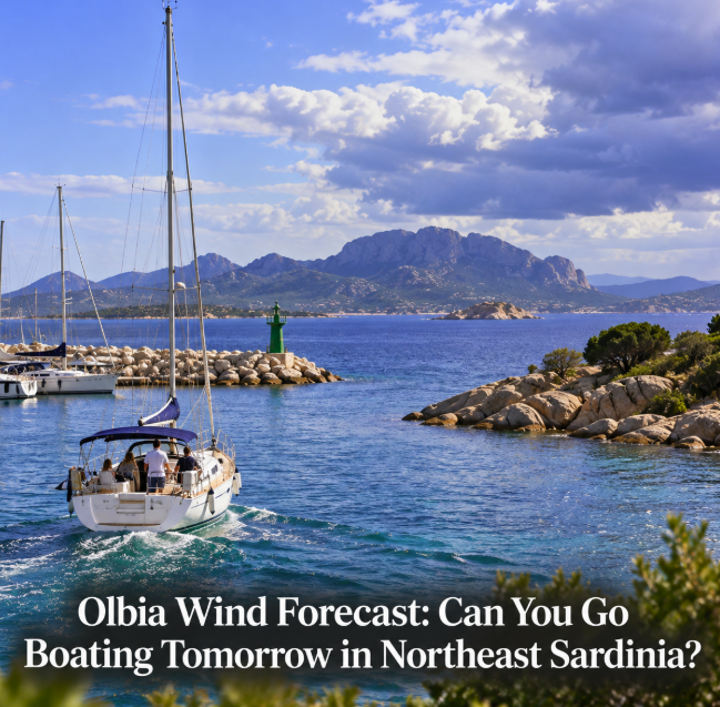
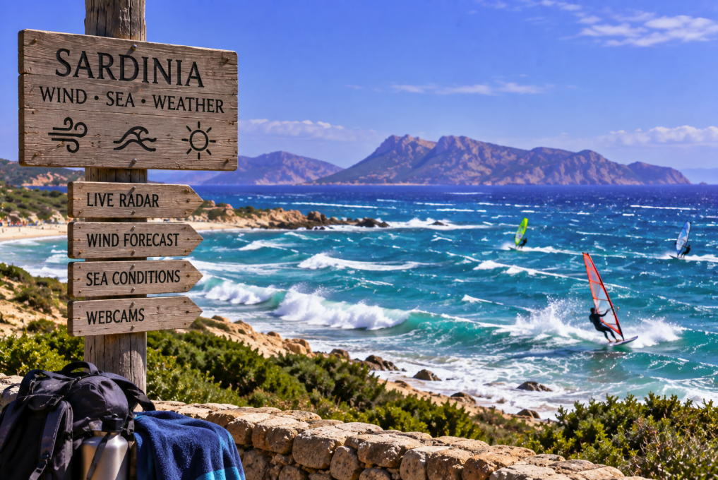
That routine is much more useful than searching only for “Sardinia weather today.” It can explain why an Alghero beach suddenly has whitecaps, why a sailing trip from northern Sardinia changes itinerary or why Poetto attracts windsurfers while another coast is comparatively quiet.
The key lesson is that Sardinia does not have one sea condition at any given moment. Use radar for precipitation, wind maps for the Mistral and the marine forecast for waves. With the new bilingual ARPAS Meteo app alongside familiar tools such as Windy, visitors now have a practical way to make a beach decision based on the actual coast they are visiting rather than the weather icon for the island as a whole.